Enterprise, Open-Source, and Nonprofit Initiatives
Digital mapping refers to the process of creating, manipulating, analyzing, and visualizing geographic data using digital technology. It involves the use of specialized software and tools to represent spatial information accurately and effectively.
Geospatial technology allows individuals and organizations to create maps, analyze spatial relationships, and make informed decisions based on geographic data. It encompasses various techniques such as satellite imagery, GPS data, and geographic information systems (GIS) to accurately depict and understand the physical world in a digital format.
A brief history of digital mapping
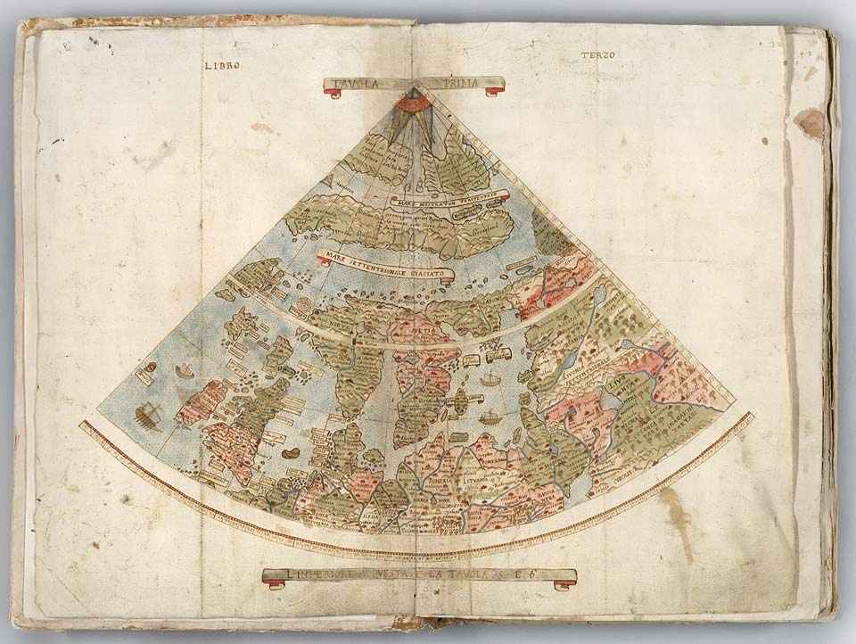
Historically, mapping has been a fundamental human endeavor, dating back thousands of years. Early civilizations created maps to navigate their surroundings, record land ownership, plan settlements, and depict geographic features. These early maps were often hand-drawn on materials such as parchment, clay tablets, or paper.

The evolution of digital mapping can be traced back to the invention of technologies such as the compass, sextant, and telescope, which enabled more accurate measurements of geographic locations and shapes. The development of printing presses in the 15th century allowed for the mass production of maps, making them more accessible to a wider audience.
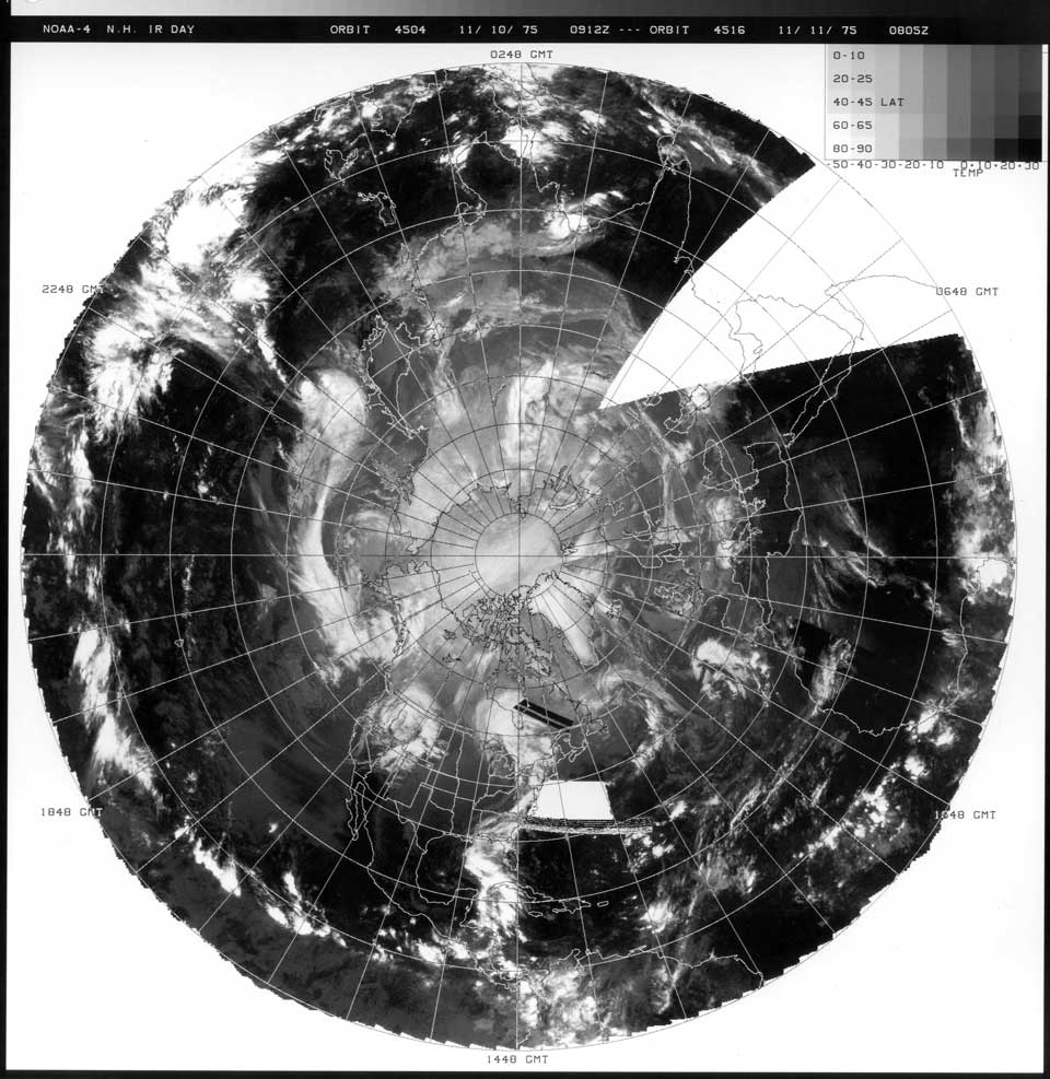
The advent of computers in the 20th century revolutionized the field of cartography, leading to the creation of digital mapping systems and Geographic Information Systems (GIS). Early computerized mapping systems were developed for specialized applications such as military planning and urban planning.

Over time, advancements in computer technology, satellite imagery, remote sensing, and data processing capabilities have fueled the rapid growth and sophistication of digital mapping.
Current Applications in use
Today, digital mapping encompasses a wide range of technologies and applications, from web-based mapping services to complex GIS software used for spatial analysis and decision-making in various industries.

Enterprise Solutions: Leading the charge in the enterprise realm is Esri, renowned for its comprehensive Geographic Information System (GIS) software suite. Esri’s ArcGIS Online platform empowers businesses with powerful mapping capabilities, spatial analytics, and data visualization tools. Alongside Esri, Mapbox offers enterprise-grade mapping solutions, providing customizable maps, geocoding services, and navigation APIs tailored for businesses. Additionally, Google Maps Platform stands out with its vast array of mapping tools, including Maps JavaScript API, Geocoding API, and Places API, catering to diverse enterprise needs.
Open-Source Solutions: In the realm of open-source online mapping, OpenStreetMap (OSM) reigns supreme as a collaborative mapping project powered by a global community. OSM provides free, editable maps and geospatial data that can be utilized for various applications. Leaflet emerges as a popular open-source JavaScript library for interactive maps, offering simplicity, flexibility, and compatibility across different platforms. Another noteworthy solution is GeoServer, an open-source server-side software for sharing and editing geospatial data, ideal for building dynamic mapping applications.
Nonprofit Mapping Initiatives: Nonprofit organizations also play a crucial role in advancing online mapping initiatives. The Humanitarian OpenStreetMap Team (HOT) stands at the forefront, leveraging volunteer contributions to map vulnerable areas and support disaster response efforts worldwide. Ushahidi, a nonprofit tech company, offers an open-source platform for crowdsourced mapping and data collection, enabling communities to share critical information during crises. Moreover, Global Forest Watch (GFW) provides an online platform for monitoring and analyzing global forest landscapes, empowering conservation efforts through data-driven insights.
Native OS Mobile Apps
In addition to web applications, several native OS apps enrich the online mapping landscape:
- Esri ArcGIS Explorer: A native app available for iOS and Android devices, offering mobile access to GIS data, maps, and tools for field data collection and visualization.
- Google Earth Pro: A desktop application providing advanced mapping features, 3D visualization, and historical imagery for spatial analysis and exploration.
- QGIS (Quantum GIS): An open-source desktop GIS application supporting multiple platforms, allowing users to create, edit, visualize, and analyze geospatial data.
Online mapping continues to redefine how we perceive and interact with spatial data through leveraging the power of GIS for audience insights, harnessing community-driven mapping projects, or supporting humanitarian efforts.